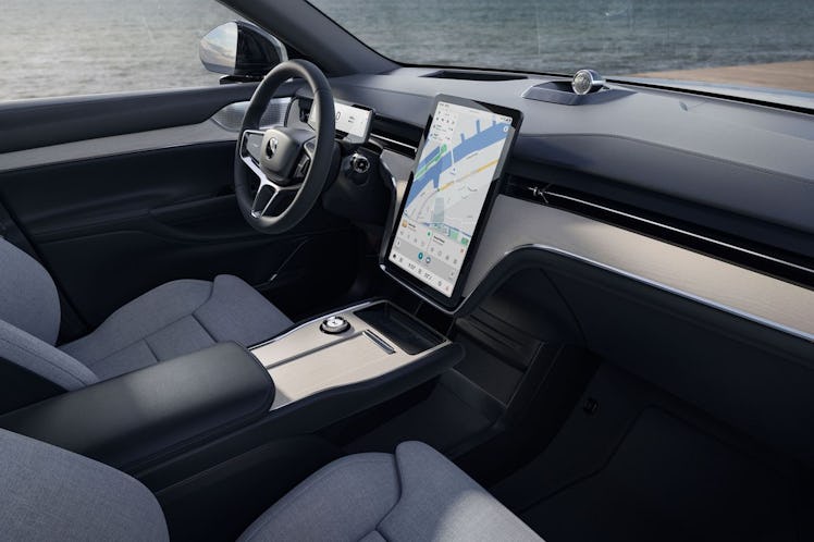
Road trips are becoming more convenient for electric vehicle owners thanks to the integration of Google Maps into their vehicles. This specialized version of Google Maps can directly connect to the EV’s systems to monitor battery levels, energy usage, and other metrics to ensure a smooth journey without the fear of running out of battery power.
The app can generate real-time estimates of the remaining battery upon arrival at the destination and prompt the driver to add charging stops if necessary. It can also predict the need for multiple stops and automatically calculate them into the trip duration.
Moreover, recent updates to Google Maps focus on charging features, providing detailed descriptions of charging station locations to help users find the right spot to charge their EV. These summaries will be available to all Google Maps users in the near future.
To access Google Maps’ EV charging feature, it is as simple as tapping the search button and looking for charging stations. Filters can be applied to refine the search based on charger type, payment network, or charging speed. Users can also manually add a charging station while creating a route, ensuring a hassle-free experience.
Although the mobile version of Google Maps does not have the same direct connection to an EV as the integrated version, it can still be used to locate electric charging stations. By typing “electric charging station” into the search bar, users can find nearby stations and check details like charging speeds and charger availability.
While the mobile version of Google Maps may not provide information on battery levels or usage for EVs, the integrated version offers a seamless experience for electric vehicle owners embarking on road trips. With these advancements, Google Maps is set to make EV road trips more convenient and efficient for users across the board.


